Crossroads in Cam
Introduction
The photograph on this page of Crossroads in Cam by Jaggery as part of the Geograph project.
The Geograph project started in 2005 with the aim of publishing, organising and preserving representative images for every square kilometre of Great Britain, Ireland and the Isle of Man.

There are currently over 7.5m images from over 14,400 individuals and you can help contribute to the project by visiting https://www.geograph.org.uk
Crossroads in Cam
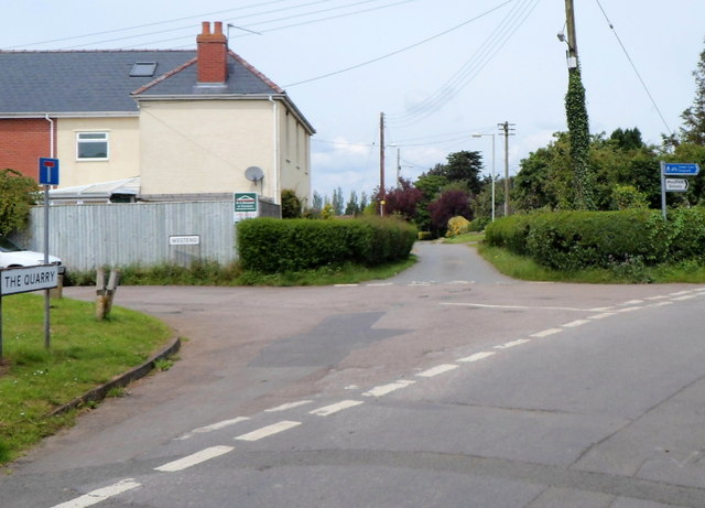
Image: © Jaggery Taken: 21 Jul 2012
Viewed from The Quarry. Roads at or near this point are Westend, Field Lane, Elstub Lane and Tyndale Road. The blue sign arm pointing right shows Lower Cam and Draycott.
Images are licensed for reuse under creativecommons.org/licenses/by-sa/2.0
Image Location
Latitude
51.697234
Longitude
-2.379033