Country Lane near Faversham
Introduction
The photograph on this page of Country Lane near Faversham by Malc McDonald as part of the Geograph project.
The Geograph project started in 2005 with the aim of publishing, organising and preserving representative images for every square kilometre of Great Britain, Ireland and the Isle of Man.

There are currently over 7.5m images from over 14,400 individuals and you can help contribute to the project by visiting https://www.geograph.org.uk
Country Lane near Faversham
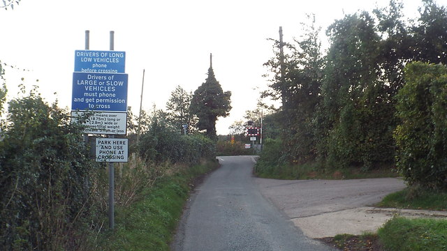
Image: © Malc McDonald Taken: 26 Oct 2013
A lane through Kent coutnryside near Faversham. Here the lane approaches a level crossing. This road is on the route of National Cycle Network route 1, which stretches from Dover to John o'Groats.
Images are licensed for reuse under creativecommons.org/licenses/by-sa/2.0
Image Location
Latitude
51.323293
Longitude
0.83902