Union Street
Introduction
The photograph on this page of Union Street by Thomas Nugent as part of the Geograph project.
The Geograph project started in 2005 with the aim of publishing, organising and preserving representative images for every square kilometre of Great Britain, Ireland and the Isle of Man.

There are currently over 7.5m images from over 14,400 individuals and you can help contribute to the project by visiting https://www.geograph.org.uk
Union Street
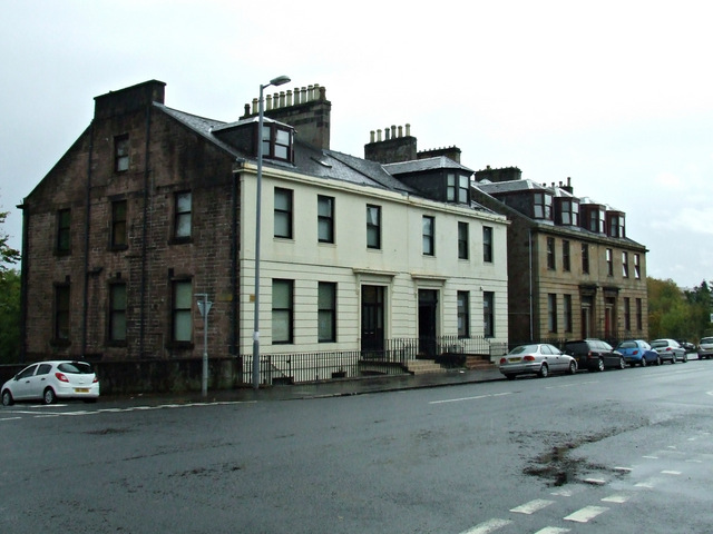
Image: © Thomas Nugent Taken: 20 Oct 2013
Category C Listed buildings http://data.historic-scotland.gov.uk/pls/htmldb/f?p=2200:15:0::::BUILDING:34160 & http://data.historic-scotland.gov.uk/pls/htmldb/f?p=2200:15:0::::BUILDING:34159 at the corner of Campbell Street. Despite the nearer one being painted white, the buildings are similar (not quite identical) in design.
Images are licensed for reuse under creativecommons.org/licenses/by-sa/2.0
Image Location
Latitude
55.953667
Longitude
-4.770048