Farmland, Salston
Introduction
The photograph on this page of Farmland, Salston by Derek Harper as part of the Geograph project.
The Geograph project started in 2005 with the aim of publishing, organising and preserving representative images for every square kilometre of Great Britain, Ireland and the Isle of Man.

There are currently over 7.5m images from over 14,400 individuals and you can help contribute to the project by visiting https://www.geograph.org.uk
Farmland, Salston
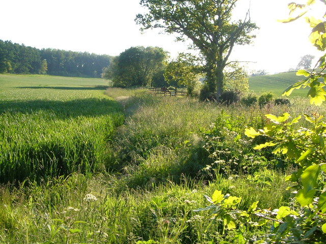
Image: © Derek Harper Taken: 2 Jun 2006
On the right runs the stream shown in Image A cereal crop runs up to Long Copse.
Images are licensed for reuse under creativecommons.org/licenses/by-sa/2.0
Image Location
Latitude
50.743186
Longitude
-3.294218