Isle of Grain from Thames Estuary
Introduction
The photograph on this page of Isle of Grain from Thames Estuary by Christine Matthews as part of the Geograph project.
The Geograph project started in 2005 with the aim of publishing, organising and preserving representative images for every square kilometre of Great Britain, Ireland and the Isle of Man.

There are currently over 7.5m images from over 14,400 individuals and you can help contribute to the project by visiting https://www.geograph.org.uk
Isle of Grain from Thames Estuary
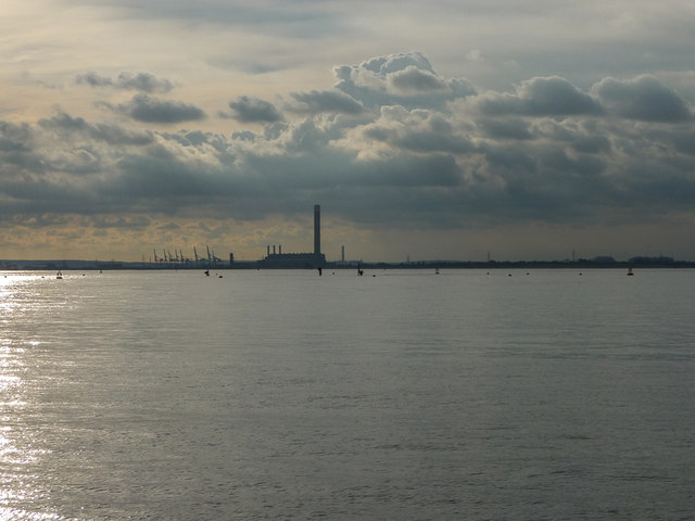
Image: © Christine Matthews Taken: 12 Oct 2013
Looking across towards the Isle of Grain, Kingsnorth Power Station can be seen. The wreck of the SS Richard Montgomery can just be seen with the marker buoys. http://www.ssrichardmontgomery.com/images/swalemontgomery.htm
Images are licensed for reuse under creativecommons.org/licenses/by-sa/2.0
Image Location
Latitude
51.447941
Longitude
0.714184