Tyringham House
Introduction
The photograph on this page of Tyringham House by zenera as part of the Geograph project.
The Geograph project started in 2005 with the aim of publishing, organising and preserving representative images for every square kilometre of Great Britain, Ireland and the Isle of Man.

There are currently over 7.5m images from over 14,400 individuals and you can help contribute to the project by visiting https://www.geograph.org.uk
Tyringham House
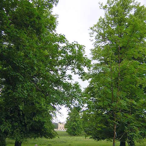
Image: © zenera Taken: 4 Jun 2005
The house is seen through the magnificent trees in the park, from the churchyard of St Peter's church, Tyringham. The house was designed by Sir John Soane in 1793.
Images are licensed for reuse under creativecommons.org/licenses/by-sa/2.0
Image Location
Latitude
52.11408
Longitude
-0.751645