Cutting, A30
Introduction
The photograph on this page of Cutting, A30 by Derek Harper as part of the Geograph project.
The Geograph project started in 2005 with the aim of publishing, organising and preserving representative images for every square kilometre of Great Britain, Ireland and the Isle of Man.

There are currently over 7.5m images from over 14,400 individuals and you can help contribute to the project by visiting https://www.geograph.org.uk
Cutting, A30
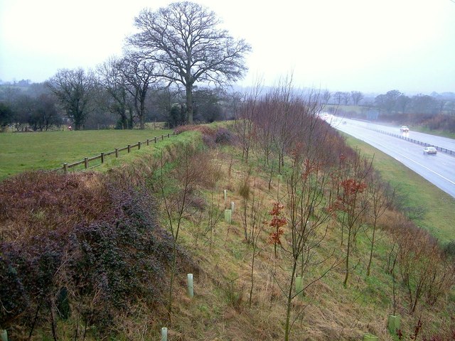
Image: © Derek Harper Taken: 7 Mar 2006
Looking more to the left of Image], with young trees and scrub on the slope of the A30 cutting, and a field to the left.
Images are licensed for reuse under creativecommons.org/licenses/by-sa/2.0
Image Location
Latitude
50.747982
Longitude
-3.347223