Looking up Bridgetown, Totnes
Introduction
The photograph on this page of Looking up Bridgetown, Totnes by David Smith as part of the Geograph project.
The Geograph project started in 2005 with the aim of publishing, organising and preserving representative images for every square kilometre of Great Britain, Ireland and the Isle of Man.

There are currently over 7.5m images from over 14,400 individuals and you can help contribute to the project by visiting https://www.geograph.org.uk
Looking up Bridgetown, Totnes
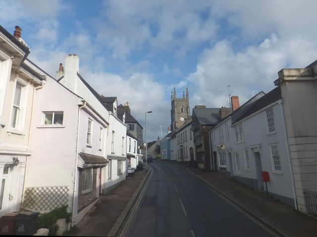
Image: © David Smith Taken: 22 Oct 2013
Bridgetown is both the name of the road and of this part of Totnes. It has its own church
Images are licensed for reuse under creativecommons.org/licenses/by-sa/2.0
Image Location
Latitude
50.430333
Longitude
-3.679343