Units in Broadmoor Park, Cinderford
Introduction
The photograph on this page of Units in Broadmoor Park, Cinderford by Jaggery as part of the Geograph project.
The Geograph project started in 2005 with the aim of publishing, organising and preserving representative images for every square kilometre of Great Britain, Ireland and the Isle of Man.

There are currently over 7.5m images from over 14,400 individuals and you can help contribute to the project by visiting https://www.geograph.org.uk
Units in Broadmoor Park, Cinderford
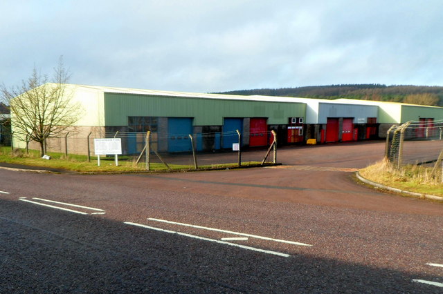
Image: © Jaggery Taken: 16 Dec 2012
Viewed across the B4227 Broadmoor Road. The board on the left lists the businesses in the park and their locations.
Images are licensed for reuse under creativecommons.org/licenses/by-sa/2.0
Image Location
Latitude
51.835739
Longitude
-2.510668