Rural settlement at Ballykeel on Islandmagee
Introduction
The photograph on this page of Rural settlement at Ballykeel on Islandmagee by Eric Jones as part of the Geograph project.
The Geograph project started in 2005 with the aim of publishing, organising and preserving representative images for every square kilometre of Great Britain, Ireland and the Isle of Man.

There are currently over 7.5m images from over 14,400 individuals and you can help contribute to the project by visiting https://www.geograph.org.uk
Rural settlement at Ballykeel on Islandmagee
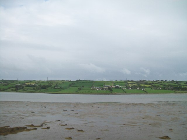
Image: © Eric Jones Taken: 26 Sep 2013
Island Magee is not an island but a peninsula separated from the rest of Co Antrim by Larne Lough. Islandmagee is a sparsely populated rural community whose economy is based mainly on agriculture.
Images are licensed for reuse under creativecommons.org/licenses/by-sa/2.0
Image Location
Latitude
54.794949
Longitude
-5.717515