The Sandstone Trail at Higher Burwardsley
Introduction
The photograph on this page of The Sandstone Trail at Higher Burwardsley by Jeff Buck as part of the Geograph project.
The Geograph project started in 2005 with the aim of publishing, organising and preserving representative images for every square kilometre of Great Britain, Ireland and the Isle of Man.

There are currently over 7.5m images from over 14,400 individuals and you can help contribute to the project by visiting https://www.geograph.org.uk
The Sandstone Trail at Higher Burwardsley
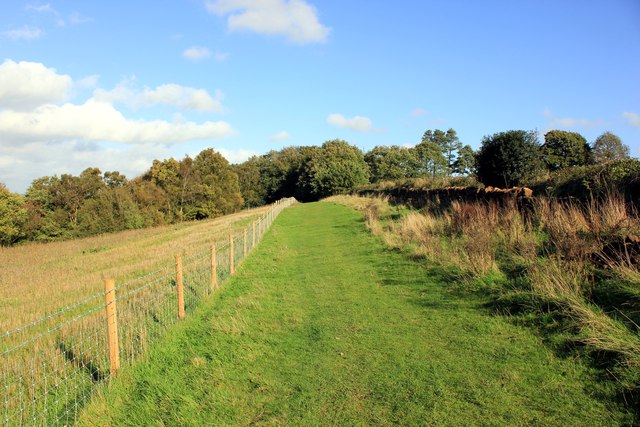
Image: © Jeff Buck Taken: 25 Oct 2013
The Sandstone Trail as it heads north towards the edge of the Peckforton Hill.
Images are licensed for reuse under creativecommons.org/licenses/by-sa/2.0
Image Location
Latitude
53.10619
Longitude
-2.708429