Housing south of Ilminster
Introduction
The photograph on this page of Housing south of Ilminster by Derek Harper as part of the Geograph project.
The Geograph project started in 2005 with the aim of publishing, organising and preserving representative images for every square kilometre of Great Britain, Ireland and the Isle of Man.

There are currently over 7.5m images from over 14,400 individuals and you can help contribute to the project by visiting https://www.geograph.org.uk
Housing south of Ilminster
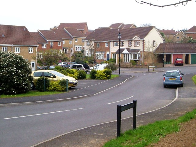
Image: © Derek Harper Taken: 22 Apr 2006
Heron Way, with Little Lester the cul-de-sac leading off it. Housing dating from the late 1990s.
Images are licensed for reuse under creativecommons.org/licenses/by-sa/2.0
Image Location


Leaflet Map data © OpenStreetMap
Latitude
50.920642
Longitude
-2.910738