High Street, Totnes
Introduction
The photograph on this page of High Street, Totnes by David Smith as part of the Geograph project.
The Geograph project started in 2005 with the aim of publishing, organising and preserving representative images for every square kilometre of Great Britain, Ireland and the Isle of Man.

There are currently over 7.5m images from over 14,400 individuals and you can help contribute to the project by visiting https://www.geograph.org.uk
High Street, Totnes
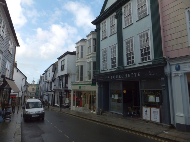
Image: © David Smith Taken: 22 Oct 2013
Looking down the hill towards Eastgate, the shops and businesses show a variety of facades. Most of these are listed buildings (according to Wikipedia, Totnes has more listed buildings per head of population than any other town)
Images are licensed for reuse under creativecommons.org/licenses/by-sa/2.0
Image Location


Leaflet Map data © OpenStreetMap
Latitude
50.431553
Longitude
-3.688257