Farmland, Lillesdon
Introduction
The photograph on this page of Farmland, Lillesdon by Derek Harper as part of the Geograph project.
The Geograph project started in 2005 with the aim of publishing, organising and preserving representative images for every square kilometre of Great Britain, Ireland and the Isle of Man.

There are currently over 7.5m images from over 14,400 individuals and you can help contribute to the project by visiting https://www.geograph.org.uk
Farmland, Lillesdon
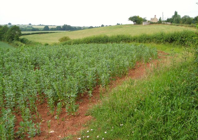
Image: © Derek Harper Taken: 3 Jul 2006
From the same spot as Image, with the same beanfield in the foreground, and The Cottage on the right along the lane to North Curry.
Images are licensed for reuse under creativecommons.org/licenses/by-sa/2.0
Image Location
Latitude
51.008542
Longitude
-2.993706