Barnet Fire Station
Introduction
The photograph on this page of Barnet Fire Station by Martin Addison as part of the Geograph project.
The Geograph project started in 2005 with the aim of publishing, organising and preserving representative images for every square kilometre of Great Britain, Ireland and the Isle of Man.

There are currently over 7.5m images from over 14,400 individuals and you can help contribute to the project by visiting https://www.geograph.org.uk
Barnet Fire Station
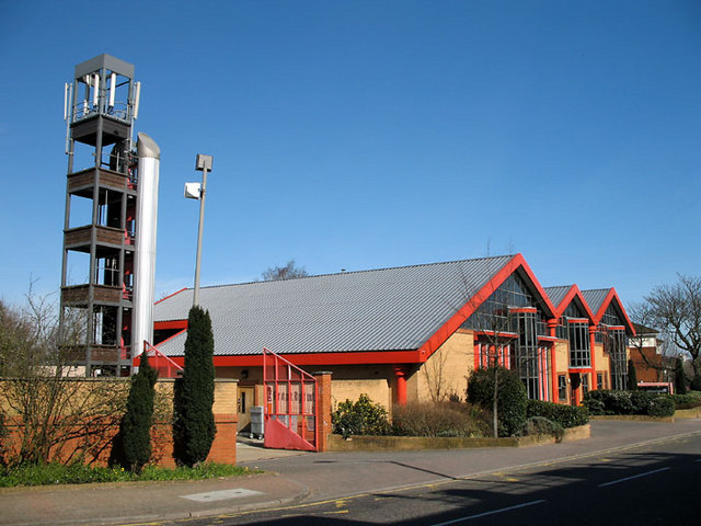
Image: © Martin Addison Taken: 16 Mar 2007
View clearly showing the rescue practice tower. This appears to be the current design for the towers, there is another like it at Finchley.
Images are licensed for reuse under creativecommons.org/licenses/by-sa/2.0
Image Location
Latitude
51.647161
Longitude
-0.186352