King's Mill, Nr. Marnhull
Introduction
The photograph on this page of King's Mill, Nr. Marnhull by Brett Sutherland as part of the Geograph project.
The Geograph project started in 2005 with the aim of publishing, organising and preserving representative images for every square kilometre of Great Britain, Ireland and the Isle of Man.

There are currently over 7.5m images from over 14,400 individuals and you can help contribute to the project by visiting https://www.geograph.org.uk
King's Mill, Nr. Marnhull
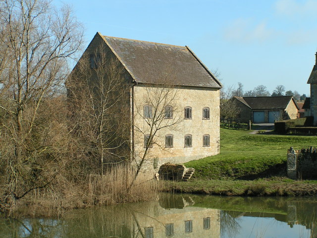
Image: © Brett Sutherland Taken: 14 Mar 2007
A fine early C19th mill on the river Stour south of Marnhull.
Images are licensed for reuse under creativecommons.org/licenses/by-sa/2.0
Image Location
Latitude
50.953213
Longitude
-2.333794