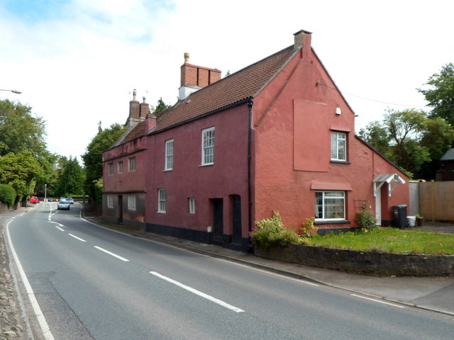
Former Angel Inn, Flax Bourton
Introduction
The photograph on this page of Former Angel Inn, Flax Bourton by Jaggery as part of the Geograph project.
The Geograph project started in 2005 with the aim of publishing, organising and preserving representative images for every square kilometre of Great Britain, Ireland and the Isle of Man.
There are currently over 7.5m images from over 14,400 individuals and you can help contribute to the project by visiting https://www.geograph.org.uk

Image: © Jaggery Taken: 13 Jul 2012
Viewed across the A370 Main Road. The former village inn is now in residential use as two dwellings named Old Angel Cottage and Old Angel. No doubt the inn was named with reference to its location opposite the village church. http://www.geograph.org.uk/photo/3713797 A poignant sentence in a brief history of the village records that (in the decades after the Second World War) "the village grocer, general store and post office all followed the Angel Inn, brew house, butcher, carpenter, smithy and tannery into oblivion." Similar losses have occurred in many other villages in the UK.

