Flax Bourton graveyard
Introduction
The photograph on this page of Flax Bourton graveyard by Jaggery as part of the Geograph project.
The Geograph project started in 2005 with the aim of publishing, organising and preserving representative images for every square kilometre of Great Britain, Ireland and the Isle of Man.

There are currently over 7.5m images from over 14,400 individuals and you can help contribute to the project by visiting https://www.geograph.org.uk
Flax Bourton graveyard
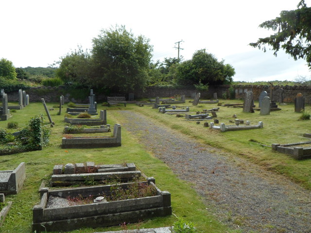
Image: © Jaggery Taken: 13 Jul 2012
The small rectangular graveyard (about 30 metres by 25 metres) is on the south side of the A370 Main Road, about 60 metres SW of the village church.
Images are licensed for reuse under creativecommons.org/licenses/by-sa/2.0
Image Location
Latitude
51.420725
Longitude
-2.712257