House under construction
Introduction
The photograph on this page of House under construction by John Baker as part of the Geograph project.
The Geograph project started in 2005 with the aim of publishing, organising and preserving representative images for every square kilometre of Great Britain, Ireland and the Isle of Man.

There are currently over 7.5m images from over 14,400 individuals and you can help contribute to the project by visiting https://www.geograph.org.uk
House under construction
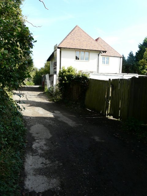
Image: © John Baker Taken: 6 Oct 2013
Planning permission has been granted by Canterbury City Council under application number CA//12/01480 for a “revision in respect of permission CA//04/01676/FOR (erection of dwelling and detached garage (renewal of CA/99/0229/FOR)) for the erection of dwelling and detached garage; alterations in respect of floor and eaves levels. The location was described as land adjacent to Church View, Church Lane, The Drove. This view of Image shows this house after completion and the other house mentioned in the location details.
Images are licensed for reuse under creativecommons.org/licenses/by-sa/2.0
Image Location
Latitude
51.295614
Longitude
1.127394