Mersey Estuary from Frodsham Hill
Introduction
The photograph on this page of Mersey Estuary from Frodsham Hill by Sue Adair as part of the Geograph project.
The Geograph project started in 2005 with the aim of publishing, organising and preserving representative images for every square kilometre of Great Britain, Ireland and the Isle of Man.

There are currently over 7.5m images from over 14,400 individuals and you can help contribute to the project by visiting https://www.geograph.org.uk
Mersey Estuary from Frodsham Hill
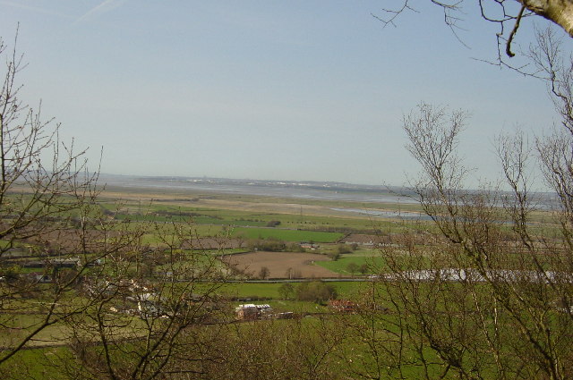
Image: © Sue Adair Taken: 30 Mar 2003
In the foreground is the A56 Chester Road and hidden beyond that the Warrington to Chester railway line and the M56 but only the lonely marshes and the Mersey estuary are visible
Images are licensed for reuse under creativecommons.org/licenses/by-sa/2.0
Image Location
Latitude
53.278692
Longitude
-2.737825