The path/track to Rose-an-Grouse Farm
Introduction
The photograph on this page of The path/track to Rose-an-Grouse Farm by David Medcalf as part of the Geograph project.
The Geograph project started in 2005 with the aim of publishing, organising and preserving representative images for every square kilometre of Great Britain, Ireland and the Isle of Man.

There are currently over 7.5m images from over 14,400 individuals and you can help contribute to the project by visiting https://www.geograph.org.uk
The path/track to Rose-an-Grouse Farm
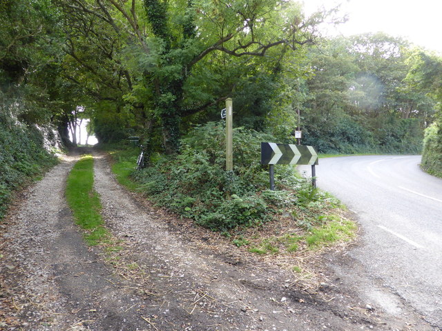
Image: © David Medcalf Taken: 7 Sep 2013
The track leads to "Golden Cock", but the path becomes impassable after 300 metres as it is fenced off. The line shown on the map is no longer practical.
Images are licensed for reuse under creativecommons.org/licenses/by-sa/2.0
Image Location
Latitude
50.174528
Longitude
-5.447624