Crescent Grove, Comber (2)
Introduction
The photograph on this page of Crescent Grove, Comber (2) by Albert Bridge as part of the Geograph project.
The Geograph project started in 2005 with the aim of publishing, organising and preserving representative images for every square kilometre of Great Britain, Ireland and the Isle of Man.

There are currently over 7.5m images from over 14,400 individuals and you can help contribute to the project by visiting https://www.geograph.org.uk
Crescent Grove, Comber (2)
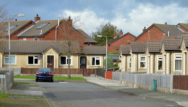
Image: © Albert Bridge Taken: 23 Oct 2013
See Image (May 2012). The ground-level view of this small cul-de-sac of bungalows off the Newtownards Road.
Images are licensed for reuse under creativecommons.org/licenses/by-sa/2.0
Image Location
Latitude
54.553196
Longitude
-5.738927