Lower Crescent, Comber (2)
Introduction
The photograph on this page of Lower Crescent, Comber (2) by Albert Bridge as part of the Geograph project.
The Geograph project started in 2005 with the aim of publishing, organising and preserving representative images for every square kilometre of Great Britain, Ireland and the Isle of Man.

There are currently over 7.5m images from over 14,400 individuals and you can help contribute to the project by visiting https://www.geograph.org.uk
Lower Crescent, Comber (2)
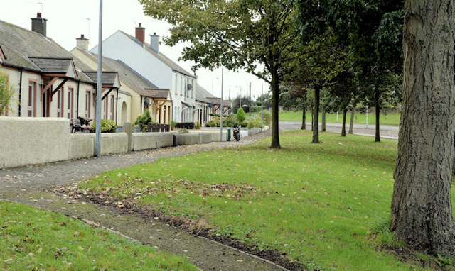
Image: © Albert Bridge Taken: 23 Oct 2013
The north eastern end of the street, greatly enhanced by the mature trees and possibly one of the most attractive examples of public-sector housing in NI.
Images are licensed for reuse under creativecommons.org/licenses/by-sa/2.0
Image Location
Latitude
54.552212
Longitude
-5.739136