Garlandstown Road
Introduction
The photograph on this page of Garlandstown Road by Robert Ashby as part of the Geograph project.
The Geograph project started in 2005 with the aim of publishing, organising and preserving representative images for every square kilometre of Great Britain, Ireland and the Isle of Man.

There are currently over 7.5m images from over 14,400 individuals and you can help contribute to the project by visiting https://www.geograph.org.uk
Garlandstown Road
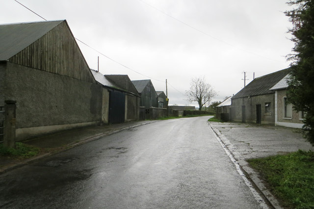
Image: © Robert Ashby Taken: 20 Oct 2013
Farm buildings occupying both sides of the Garlandstown Road near the junction with the south side of the A26 Moira Road.
Images are licensed for reuse under creativecommons.org/licenses/by-sa/2.0
Image Location
Latitude
54.611791
Longitude
-6.181968