Upper Crescent, Comber
Introduction
The photograph on this page of Upper Crescent, Comber by Albert Bridge as part of the Geograph project.
The Geograph project started in 2005 with the aim of publishing, organising and preserving representative images for every square kilometre of Great Britain, Ireland and the Isle of Man.

There are currently over 7.5m images from over 14,400 individuals and you can help contribute to the project by visiting https://www.geograph.org.uk
Upper Crescent, Comber
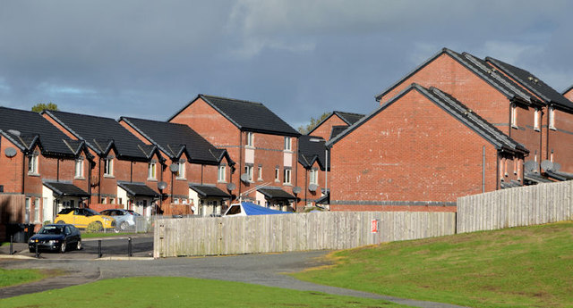
Image: © Albert Bridge Taken: 23 Oct 2013
Part of a recent development at Upper Crescent – a street on the south eastern side of the Newtownards Road.
Images are licensed for reuse under creativecommons.org/licenses/by-sa/2.0
Image Location
Latitude
54.549953
Longitude
-5.738488