Warners Bridge
Introduction
The photograph on this page of Warners Bridge by John Myers as part of the Geograph project.
The Geograph project started in 2005 with the aim of publishing, organising and preserving representative images for every square kilometre of Great Britain, Ireland and the Isle of Man.

There are currently over 7.5m images from over 14,400 individuals and you can help contribute to the project by visiting https://www.geograph.org.uk
Warners Bridge
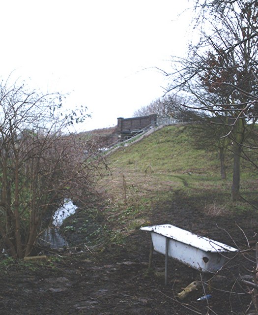
Image: © John Myers Taken: 3 Jan 2007
Paddock with "horse trough". The small, unnamed stream, which runs south of and parallels the Eastwood Brook, is here about 100m west of its confluence with Prittle Brook.
Images are licensed for reuse under creativecommons.org/licenses/by-sa/2.0
Image Location
Latitude
51.567314
Longitude
0.705272