A Section of Deal Castle
Introduction
The photograph on this page of A Section of Deal Castle by Chris Heaton as part of the Geograph project.
The Geograph project started in 2005 with the aim of publishing, organising and preserving representative images for every square kilometre of Great Britain, Ireland and the Isle of Man.

There are currently over 7.5m images from over 14,400 individuals and you can help contribute to the project by visiting https://www.geograph.org.uk
A Section of Deal Castle
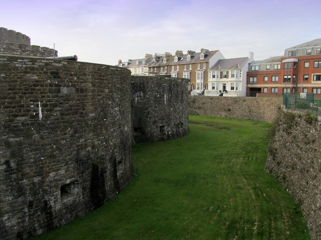
Image: © Chris Heaton Taken: 18 Oct 2013
A squat low building constructed in the reign of Henry VIII as part of defences against the threat of French invasion.
Images are licensed for reuse under creativecommons.org/licenses/by-sa/2.0
Image Location
Latitude
51.219627
Longitude
1.403694