Southern end of Nottingham Road, Gotham
Introduction
The photograph on this page of Southern end of Nottingham Road, Gotham by Richard Vince as part of the Geograph project.
The Geograph project started in 2005 with the aim of publishing, organising and preserving representative images for every square kilometre of Great Britain, Ireland and the Isle of Man.

There are currently over 7.5m images from over 14,400 individuals and you can help contribute to the project by visiting https://www.geograph.org.uk
Southern end of Nottingham Road, Gotham
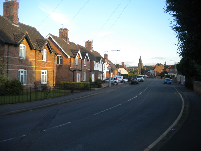
Image: © Richard Vince Taken: 13 Aug 2013
Looking towards the centre of the village along Nottingham Road, with the spire of St Lawrence's Church visible in the distance. Just beyond where the white van is parked, Nottingham Road becomes Leake Road.
Images are licensed for reuse under creativecommons.org/licenses/by-sa/2.0
Image Location
Latitude
52.867883
Longitude
-1.205947