B4026 between Charlbury and Spelsbury
Introduction
The photograph on this page of B4026 between Charlbury and Spelsbury by SA Mathieson as part of the Geograph project.
The Geograph project started in 2005 with the aim of publishing, organising and preserving representative images for every square kilometre of Great Britain, Ireland and the Isle of Man.

There are currently over 7.5m images from over 14,400 individuals and you can help contribute to the project by visiting https://www.geograph.org.uk
B4026 between Charlbury and Spelsbury
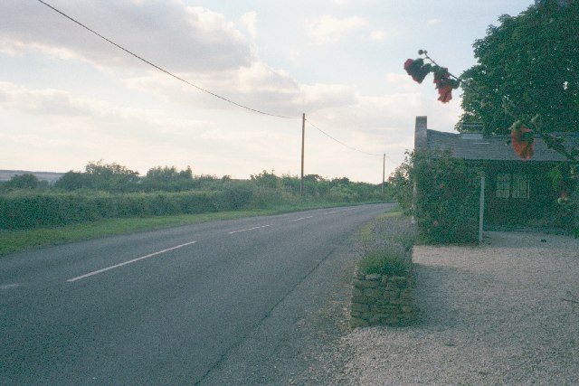
Image: © SA Mathieson Taken: 7 Aug 2005
Taken facing north near Bobwell Farm. The western ridge of the Evenlode valley is visible to the left. Image is two miles north on the same road.
Images are licensed for reuse under creativecommons.org/licenses/by-sa/2.0
Image Location


Leaflet Map data © OpenStreetMap
Latitude
51.881951
Longitude
-1.488569