Hundley Way
Introduction
The photograph on this page of Hundley Way by SA Mathieson as part of the Geograph project.
The Geograph project started in 2005 with the aim of publishing, organising and preserving representative images for every square kilometre of Great Britain, Ireland and the Isle of Man.

There are currently over 7.5m images from over 14,400 individuals and you can help contribute to the project by visiting https://www.geograph.org.uk
Hundley Way
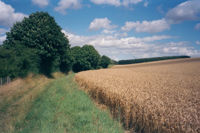
Image: © SA Mathieson Taken: 3 Aug 2005
This track goes from the edge of Charlbury to another path on the edge of the Ditchley estate. On the horizon is Pintle Barn, a small line of woodland.
Images are licensed for reuse under creativecommons.org/licenses/by-sa/2.0
Image Location


Leaflet Map data © OpenStreetMap
Latitude
51.88007
Longitude
-1.469705