Dunheved House
Introduction
The photograph on this page of Dunheved House by Rod Allday as part of the Geograph project.
The Geograph project started in 2005 with the aim of publishing, organising and preserving representative images for every square kilometre of Great Britain, Ireland and the Isle of Man.

There are currently over 7.5m images from over 14,400 individuals and you can help contribute to the project by visiting https://www.geograph.org.uk
Dunheved House
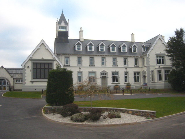
Image: © Rod Allday Taken: 24 Feb 2013
Dunheved House, which is set in the grounds of Launceston College, was originally a boarding house and part of the original College building which opened on the current site in 1875. It now houses a learning centre offering further and higher education courses, state of the art conference facilities and a base for providing health and social care services for local families.
Images are licensed for reuse under creativecommons.org/licenses/by-sa/2.0
Image Location
Latitude
50.629696
Longitude
-4.360222