Path between St. Margaret's Bay and Kingsdown
Introduction
The photograph on this page of Path between St. Margaret's Bay and Kingsdown by Chris Heaton as part of the Geograph project.
The Geograph project started in 2005 with the aim of publishing, organising and preserving representative images for every square kilometre of Great Britain, Ireland and the Isle of Man.

There are currently over 7.5m images from over 14,400 individuals and you can help contribute to the project by visiting https://www.geograph.org.uk
Path between St. Margaret's Bay and Kingsdown
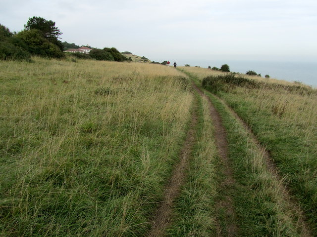
Image: © Chris Heaton Taken: 18 Oct 2013
Saxon Shore Way above the white cliffs between St. Margaret's at Cliffe and Kinsdown - the vertical drop to the right, and a string of desirable houses in front of a golf course to our left.
Images are licensed for reuse under creativecommons.org/licenses/by-sa/2.0
Image Location
Latitude
51.171881
Longitude
1.403036