Through the windmill, Churston Common
Introduction
The photograph on this page of Through the windmill, Churston Common by Tom Jolliffe as part of the Geograph project.
The Geograph project started in 2005 with the aim of publishing, organising and preserving representative images for every square kilometre of Great Britain, Ireland and the Isle of Man.

There are currently over 7.5m images from over 14,400 individuals and you can help contribute to the project by visiting https://www.geograph.org.uk
Through the windmill, Churston Common
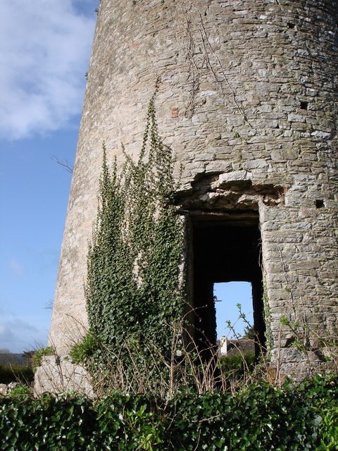
Image: © Tom Jolliffe Taken: 18 Mar 2007
The stone structure of the windmill is still pleasing.
Images are licensed for reuse under creativecommons.org/licenses/by-sa/2.0
Image Location


Leaflet Map data © OpenStreetMap
Latitude
50.400359
Longitude
-3.56501