View over Upper Stowfield Road
Introduction
The photograph on this page of View over Upper Stowfield Road by Stuart Wilding as part of the Geograph project.
The Geograph project started in 2005 with the aim of publishing, organising and preserving representative images for every square kilometre of Great Britain, Ireland and the Isle of Man.

There are currently over 7.5m images from over 14,400 individuals and you can help contribute to the project by visiting https://www.geograph.org.uk
View over Upper Stowfield Road
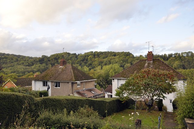
Image: © Stuart Wilding Taken: 16 Oct 2013
View across the Wye Valley from the rear garden of Upper Stowfield Road. The houses were built just before World War II.
Images are licensed for reuse under creativecommons.org/licenses/by-sa/2.0
Image Location


Leaflet Map data © OpenStreetMap
Latitude
51.853675
Longitude
-2.596679