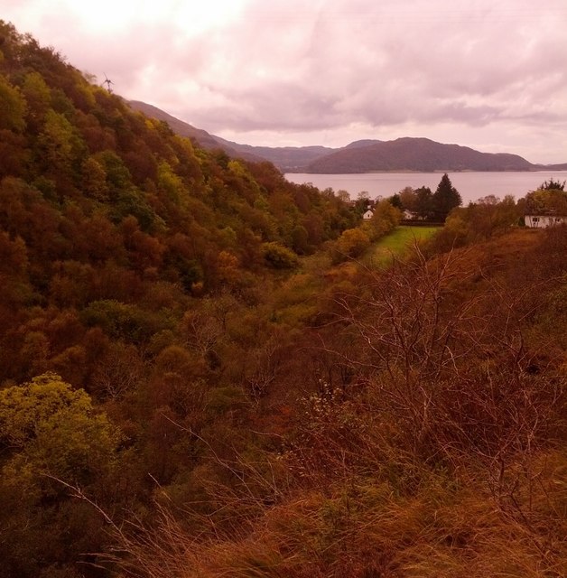
View down the "Dubh Ghlac" to Loch Linnhe
Introduction
The photograph on this page of View down the "Dubh Ghlac" to Loch Linnhe by Phillip Williams as part of the Geograph project.
The Geograph project started in 2005 with the aim of publishing, organising and preserving representative images for every square kilometre of Great Britain, Ireland and the Isle of Man.
There are currently over 7.5m images from over 14,400 individuals and you can help contribute to the project by visiting https://www.geograph.org.uk

Image: © Phillip Williams Taken: 21 Oct 2013
Dubh-ghlac is an approximately 2km long narrow glen running NE from the A82 in Onich. The name means "dark narrow glen" but it is also known as the Onich Dry River Gorge or the Onich Gorge. It is believed to be the old course of the Abhainn Righ (River Righ/Ree or perhaps River of the King) before being diverted to the current course, possibly as the result of glacial action. Taken above a small steep cliff, an SSSI, of white Appin Quartzite still bearing the ripple marks of the old sea bed prior to metamorphic change.

