Southbound M20 near Boxley
Introduction
The photograph on this page of Southbound M20 near Boxley by David Dixon as part of the Geograph project.
The Geograph project started in 2005 with the aim of publishing, organising and preserving representative images for every square kilometre of Great Britain, Ireland and the Isle of Man.

There are currently over 7.5m images from over 14,400 individuals and you can help contribute to the project by visiting https://www.geograph.org.uk
Southbound M20 near Boxley
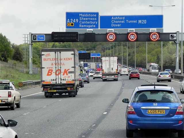
Image: © David Dixon Taken: 13 May 2013
The Active Traffic Management System has set the variable speed limit signs to 60mph. Active Traffic Management (ATM) is a system used on certain motorways where gantry signs are computer-controlled to set a variable speed limit, open the hard shoulder as a running lane and limit the volume of traffic entering at junctions, with the aim of improving the flow of traffic (see http://www.cbrd.co.uk/indepth/atm/ for more detailed information about the Active Traffic Management system).
Images are licensed for reuse under creativecommons.org/licenses/by-sa/2.0
Image Location
Latitude
51.295254
Longitude
0.528146