Descender Bender
Introduction
The photograph on this page of Descender Bender by Richard Webb as part of the Geograph project.
The Geograph project started in 2005 with the aim of publishing, organising and preserving representative images for every square kilometre of Great Britain, Ireland and the Isle of Man.

There are currently over 7.5m images from over 14,400 individuals and you can help contribute to the project by visiting https://www.geograph.org.uk
Descender Bender
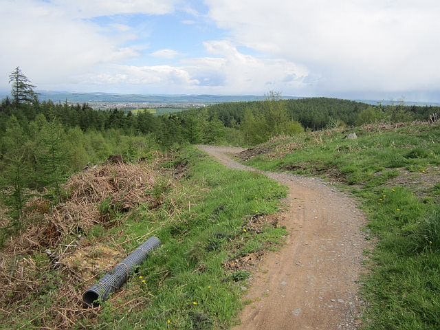
Image: © Richard Webb Taken: 23 May 2013
The long swooping descent of Woodhead Hill on the red trail at Mabie. The forest was quiet today and I saw nobody on my round.
Images are licensed for reuse under creativecommons.org/licenses/by-sa/2.0
Image Location
Latitude
55.028113
Longitude
-3.674339