Arable land northwest of Mowlands Farm
Introduction
The photograph on this page of Arable land northwest of Mowlands Farm by John Topping as part of the Geograph project.
The Geograph project started in 2005 with the aim of publishing, organising and preserving representative images for every square kilometre of Great Britain, Ireland and the Isle of Man.

There are currently over 7.5m images from over 14,400 individuals and you can help contribute to the project by visiting https://www.geograph.org.uk
Arable land northwest of Mowlands Farm
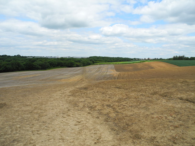
Image: © John Topping Taken: 25 Jun 2013
Heading north towards Bloomer Wood/Sutton Meadows (SK4857) from Doles Lane.
Images are licensed for reuse under creativecommons.org/licenses/by-sa/2.0
Image Location
Latitude
53.107391
Longitude
-1.281312