View of track from Pibble to Mark Farm
Introduction
The photograph on this page of View of track from Pibble to Mark Farm by Anthony O'Neil as part of the Geograph project.
The Geograph project started in 2005 with the aim of publishing, organising and preserving representative images for every square kilometre of Great Britain, Ireland and the Isle of Man.

There are currently over 7.5m images from over 14,400 individuals and you can help contribute to the project by visiting https://www.geograph.org.uk
View of track from Pibble to Mark Farm
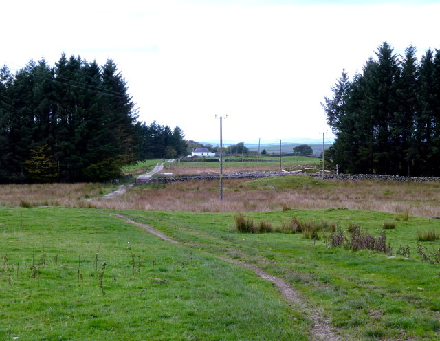
Image: © Anthony O'Neil Taken: 11 Oct 2013
The white building in the image is Mark Cottage. The track leads beyond it to Mark Farm, which is out of sight in this view.
Images are licensed for reuse under creativecommons.org/licenses/by-sa/2.0
Image Location
Latitude
54.916811
Longitude
-4.321459