Radstock North track layout
Introduction
The photograph on this page of Radstock North track layout by b Lewis as part of the Geograph project.
The Geograph project started in 2005 with the aim of publishing, organising and preserving representative images for every square kilometre of Great Britain, Ireland and the Isle of Man.

There are currently over 7.5m images from over 14,400 individuals and you can help contribute to the project by visiting https://www.geograph.org.uk
Radstock North track layout
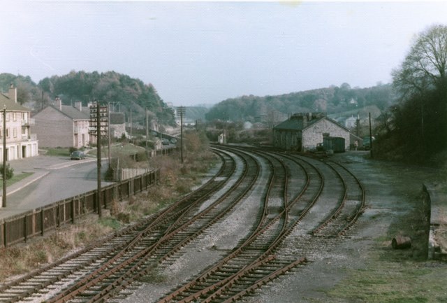
Image: © b Lewis Taken: Unknown
The importance the railway once had to Radstock is illustrated by the scale of the track layout to the east of the station. Picture taken from the old footbridge approx. early 1980s.
Images are licensed for reuse under creativecommons.org/licenses/by-sa/2.0
Image Location
Latitude
51.292557
Longitude
-2.446678