Woodland north of Pontop
Introduction
The photograph on this page of Woodland north of Pontop by Andrew Curtis as part of the Geograph project.
The Geograph project started in 2005 with the aim of publishing, organising and preserving representative images for every square kilometre of Great Britain, Ireland and the Isle of Man.

There are currently over 7.5m images from over 14,400 individuals and you can help contribute to the project by visiting https://www.geograph.org.uk
Woodland north of Pontop
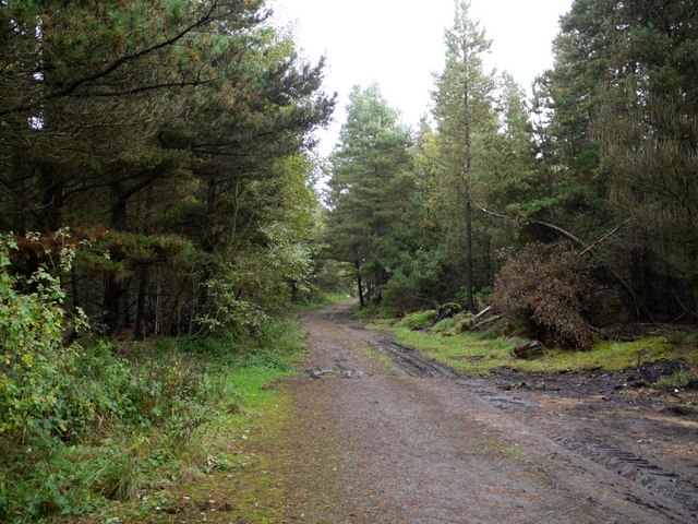
Image: © Andrew Curtis Taken: 20 Oct 2013
The wooded land here hides the site of the former South Medomsley Colliery.
Images are licensed for reuse under creativecommons.org/licenses/by-sa/2.0
Image Location
Latitude
54.872553
Longitude
-1.776043