United Reformed Church, Holywell Green
Introduction
The photograph on this page of United Reformed Church, Holywell Green by Humphrey Bolton as part of the Geograph project.
The Geograph project started in 2005 with the aim of publishing, organising and preserving representative images for every square kilometre of Great Britain, Ireland and the Isle of Man.

There are currently over 7.5m images from over 14,400 individuals and you can help contribute to the project by visiting https://www.geograph.org.uk
United Reformed Church, Holywell Green
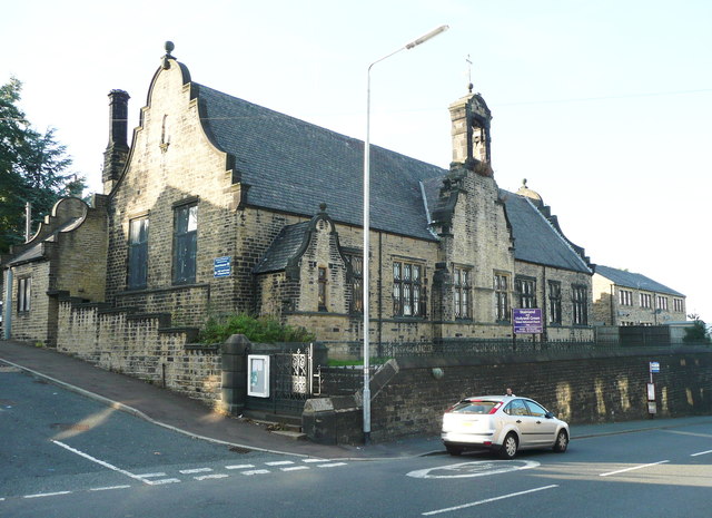
Image: © Humphrey Bolton Taken: 27 Sep 2013
This was built as the Sunday School; the church was next to it on the right, but has been demolished and the site used for houses.
Images are licensed for reuse under creativecommons.org/licenses/by-sa/2.0
Image Location
Latitude
53.675585
Longitude
-1.867507