Railway and bridge in Willenhall, Walsall
Introduction
The photograph on this page of Railway and bridge in Willenhall, Walsall by Roger D Kidd as part of the Geograph project.
The Geograph project started in 2005 with the aim of publishing, organising and preserving representative images for every square kilometre of Great Britain, Ireland and the Isle of Man.

There are currently over 7.5m images from over 14,400 individuals and you can help contribute to the project by visiting https://www.geograph.org.uk
Railway and bridge in Willenhall, Walsall
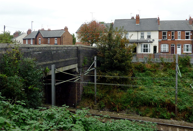
Image: © Roger D Kidd Taken: 18 Oct 2013
This image from the north end of William Harper Road shows the line in its cutting between Walsall and Wolverhampton, looking across to housing in Gipsy Lane. The narrow bridge is no longer open to traffic, but remains as a footpath/cycleway.
Images are licensed for reuse under creativecommons.org/licenses/by-sa/2.0
Image Location
Latitude
52.58214
Longitude
-2.049987