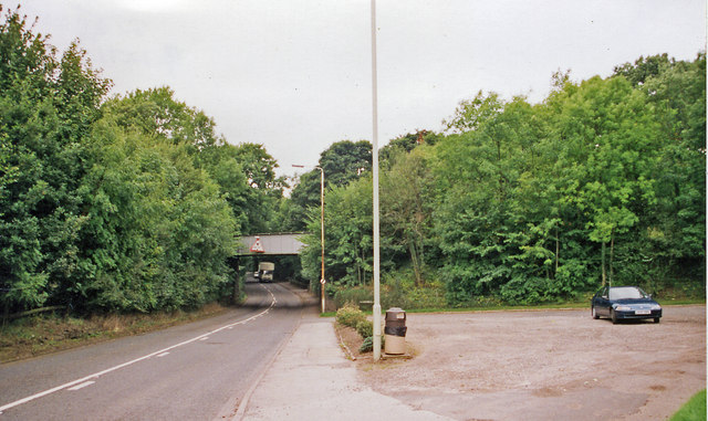
Site of former Keele station, 1999
Introduction
The photograph on this page of Site of former Keele station, 1999 by Ben Brooksbank as part of the Geograph project.
The Geograph project started in 2005 with the aim of publishing, organising and preserving representative images for every square kilometre of Great Britain, Ireland and the Isle of Man.
There are currently over 7.5m images from over 14,400 individuals and you can help contribute to the project by visiting https://www.geograph.org.uk

Image: © Ben Brooksbank Taken: 8 Sep 1999
View eastward on A525, under bridge carrying ex-North Stafford Stoke - Newcastle-under-Lyme (to left) - (to right) Market Drayton/Harecastle line. Keele station had been up to the right and was closed 7/5/56, when passenger services west of Silverdale ceased; Stoke - Silverdale 2/3/64 (goods 30/8/71), services on the branch to Harecastle having ended 27/4/31. Goods traffic to Harecastle (Alsager East Junction) lasted until 7/1/63, to Market Drayton until 16/3/67. The line over the bridge remains, buried in vegetation, having borne freight to/from Silverdale Colliery until 1998.(Cf. Image]).

