Livermead
Introduction
The photograph on this page of Livermead by Derek Harper as part of the Geograph project.
The Geograph project started in 2005 with the aim of publishing, organising and preserving representative images for every square kilometre of Great Britain, Ireland and the Isle of Man.

There are currently over 7.5m images from over 14,400 individuals and you can help contribute to the project by visiting https://www.geograph.org.uk
Livermead
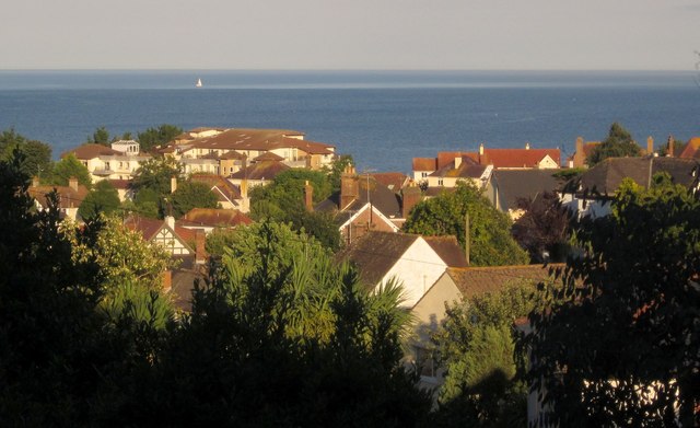
Image: © Derek Harper Taken: 16 Aug 2013
Looking over the houses towards Livermead Head and a block of flat called The Headlands, with a single sail out in Tor Bay.
Images are licensed for reuse under creativecommons.org/licenses/by-sa/2.0
Image Location
Latitude
50.452949
Longitude
-3.546601