Abandoned Dons Knowe
Introduction
The photograph on this page of Abandoned Dons Knowe by Simon Brooke as part of the Geograph project.
The Geograph project started in 2005 with the aim of publishing, organising and preserving representative images for every square kilometre of Great Britain, Ireland and the Isle of Man.

There are currently over 7.5m images from over 14,400 individuals and you can help contribute to the project by visiting https://www.geograph.org.uk
Abandoned Dons Knowe
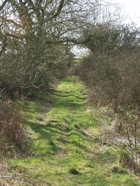
Image: © Simon Brooke Taken: 19 Mar 2007
This track forms part of the old coast road from Balcary through to Rerrick. Prior to 1860 this would form part of the route the villagers from Auchencairn would follow to the parish church which was then at Rerrick. In my childhood it was still easily passable by motor vehicle, and is I believe still a vehicular right of way; but it's no longer passable by motor vehicle.
Images are licensed for reuse under creativecommons.org/licenses/by-sa/2.0
Image Location
Latitude
54.810998
Longitude
-3.904217