View from Darren Cilau car park above Llangattock
Introduction
The photograph on this page of View from Darren Cilau car park above Llangattock by Jeremy Bolwell as part of the Geograph project.
The Geograph project started in 2005 with the aim of publishing, organising and preserving representative images for every square kilometre of Great Britain, Ireland and the Isle of Man.

There are currently over 7.5m images from over 14,400 individuals and you can help contribute to the project by visiting https://www.geograph.org.uk
View from Darren Cilau car park above Llangattock
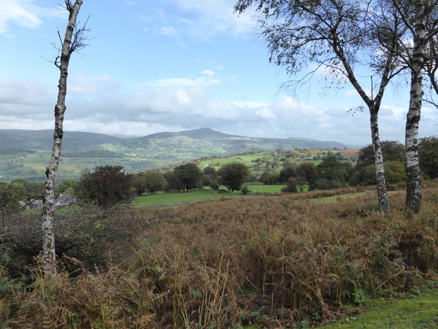
Image: © Jeremy Bolwell Taken: 19 Oct 2013
The Sugar Loaf / Mynydd Pen-y-fal and the Skirrid / Ysgyryd Fawr are visible at Abergavenny.
Images are licensed for reuse under creativecommons.org/licenses/by-sa/2.0
Image Location
Latitude
51.831596
Longitude
-3.148718