Litlington Road
Introduction
The photograph on this page of Litlington Road by Simon Carey as part of the Geograph project.
The Geograph project started in 2005 with the aim of publishing, organising and preserving representative images for every square kilometre of Great Britain, Ireland and the Isle of Man.

There are currently over 7.5m images from over 14,400 individuals and you can help contribute to the project by visiting https://www.geograph.org.uk
Litlington Road
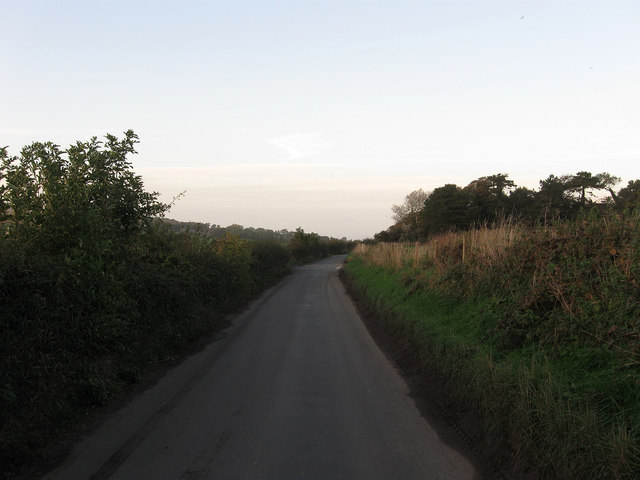
Image: © Simon Carey Taken: 17 Oct 2013
The name of the lane that runs down the eastern side of the Cuckmere valley linking litlington with the A259 at Exceat. Beyond the hedge to the left is Image whilst to the right is Image
Images are licensed for reuse under creativecommons.org/licenses/by-sa/2.0
Image Location
Latitude
50.788421
Longitude
0.152789