Tutsham Hall Oasts from the River Medway towing path
Introduction
The photograph on this page of Tutsham Hall Oasts from the River Medway towing path by Marathon as part of the Geograph project.
The Geograph project started in 2005 with the aim of publishing, organising and preserving representative images for every square kilometre of Great Britain, Ireland and the Isle of Man.

There are currently over 7.5m images from over 14,400 individuals and you can help contribute to the project by visiting https://www.geograph.org.uk
Tutsham Hall Oasts from the River Medway towing path
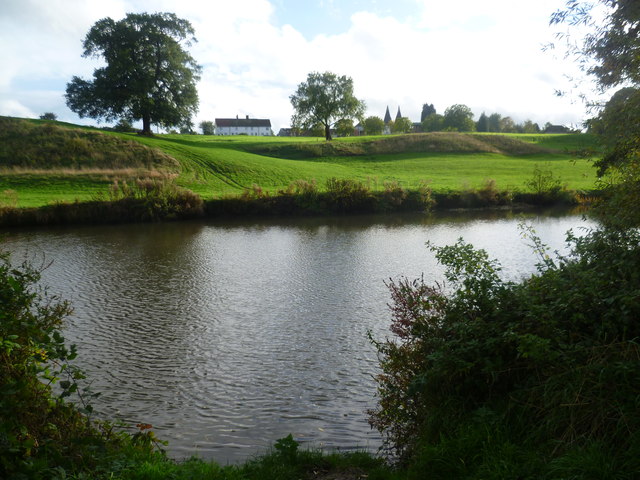
Image: © Marathon Taken: 19 Oct 2013
Between Bow Bridge at Wateringbury and Teston Bridge, the Medway Valley Walk does not follow the river bank here but takes the higher ground to the south past Tutsham Hall which is seen here in the distance with its oast houses.
Images are licensed for reuse under creativecommons.org/licenses/by-sa/2.0
Image Location
Latitude
51.247212
Longitude
0.444259