The road to Green Bottom
Introduction
The photograph on this page of The road to Green Bottom by Stuart Wilding as part of the Geograph project.
The Geograph project started in 2005 with the aim of publishing, organising and preserving representative images for every square kilometre of Great Britain, Ireland and the Isle of Man.

There are currently over 7.5m images from over 14,400 individuals and you can help contribute to the project by visiting https://www.geograph.org.uk
The road to Green Bottom
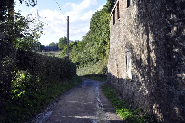
Image: © Stuart Wilding Taken: 16 Oct 2013
Oddly enough no mention of Green Bottom on the map but I'm sure that is the name used by locals. The road leads to a farm, a few houses and a holiday cottage.
Images are licensed for reuse under creativecommons.org/licenses/by-sa/2.0
Image Location
Latitude
51.83894
Longitude
-2.612304